Ahmedabad • All India
Precision in Every Measurement. Professionalism in Every Project.
Civil • Railway • Wind • Road • Solar Survey • Demarcation
Total Station / DGPS/RTK / GNSS
- Established
- 1 April 2012 · Proprietorship
- Base
- Narol, Ahmedabad, Gujarat
- Coverage
- All India
- GSTIN
- 24BUYPM3825Q2ZM

Who we are
Professional surveying from Ahmedabad since 1 April 2012
SHIVSHAKTI ENGINEER AND SURVEYOR is a proprietorship based in Narol, Ahmedabad. Work is planned from the Ahmedabad office and carried out across India for civil, railway, solar, wind, road and industrial programmes.
Assignments begin with a written brief — the site, the coordinate system, the drawings required and the programme. Field methods are chosen for that brief, and observations are reduced to drawings, coordinates and reports the next team can use.
Right Instrument + Skilled Surveyor + Accurate Data = Successful Project.
What we do
Survey services
Select a group to see the assignments in that area. Each card links to a dedicated service page.
Control, topography, levels and land records from the instrument to the drawing.
-
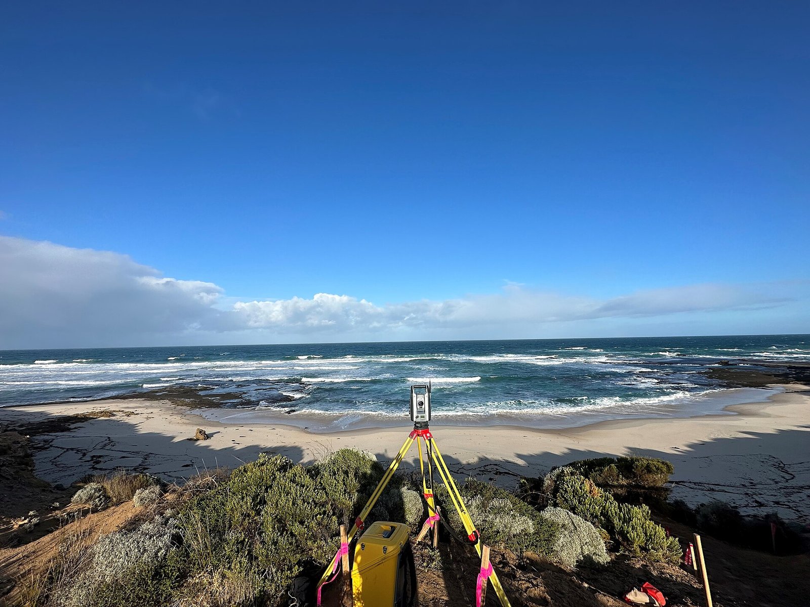
 Total Station Survey
Angle and distance measurement for setting-out, as-built checks and detailed site geometry.
View service
-
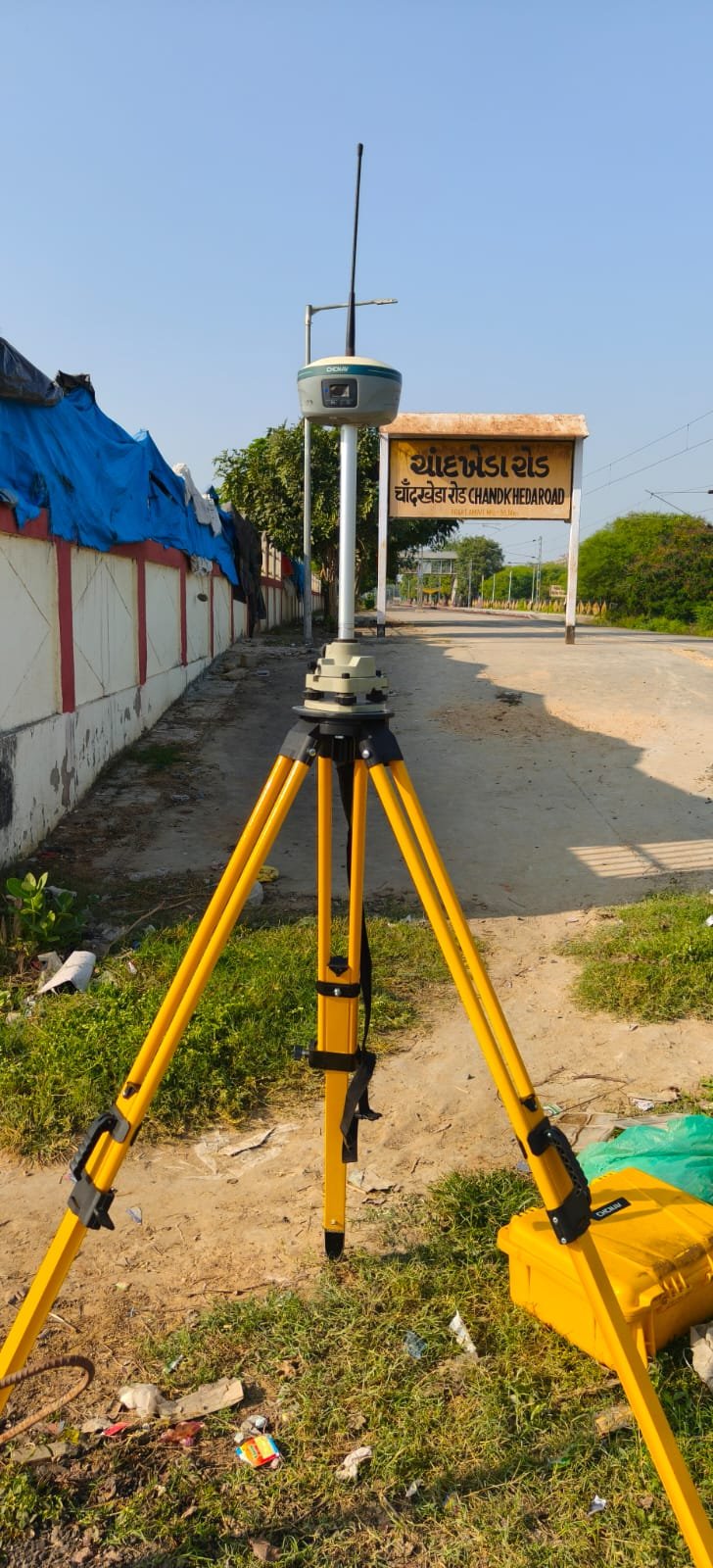 DGPS/RTK/GNSS Survey
Satellite control and real-time kinematic survey for large sites, corridors and grid tying.
View service
-
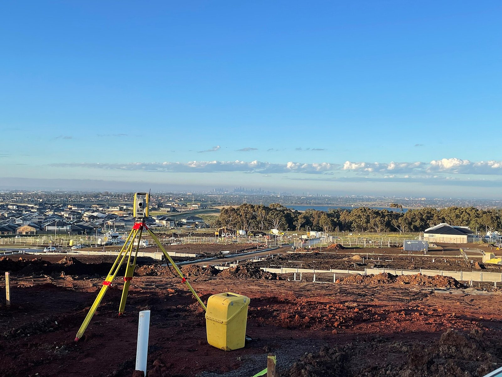 Topographical Survey
Ground features, levels and site context for design and planning drawings.
View service
-
Contour Survey
Contour plans for grading, drainage, earthworks and site appraisal.
View service
-
Level Survey
Reduced levels, benchmarks and vertical control for civil and industrial works.
View service
-
Land Survey
Parcel geometry, site measurement and land records support for acquisition and development.
View service
-
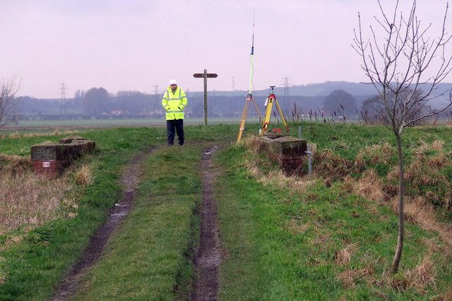 Boundary & Demarcation
Marking boundaries and setting points on the ground from survey control and client records.
View service
Corridors, yards, roads, railway and civil setting-out along a defined line.
-
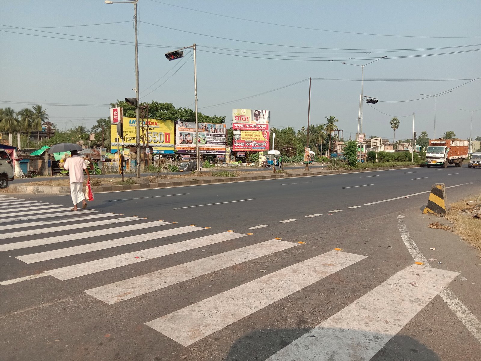 Route & Alignment
Centreline, chainage and corridor survey for linear infrastructure.
View service
-
Road & Highway
Highway and road survey: existing carriageway, proposed alignment and construction control.
View service
-
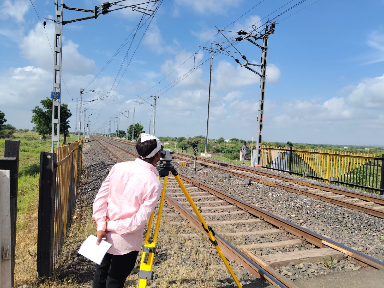 Railway Survey
Track, formation and corridor survey for railway construction and improvement.
View service
-
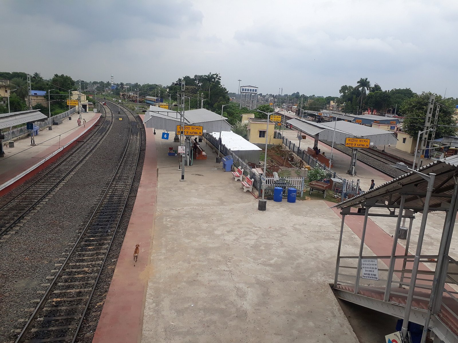 Railway Yard & Shed
Yards, sheds and workshop complexes: layout, levels and demarcation.
View service
-
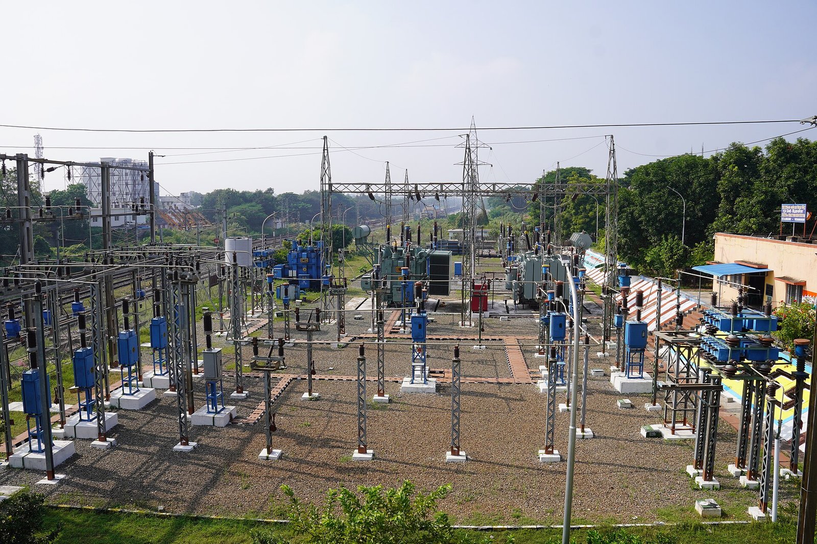 Transmission Line
Tower spotting support, route survey and structure setting-out for transmission corridors.
View service
-
Civil
Civil works survey: structures, earthworks, drainage and site control.
View service
-
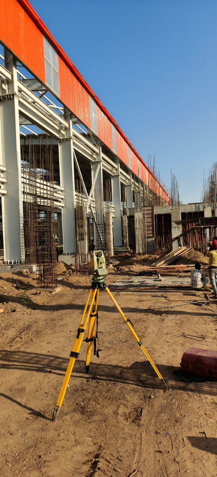 Construction
On-site construction survey: grids, levels, checks and contractor coordination.
View service
-
Infrastructure
Survey support for mixed infrastructure: access, utilities corridors and site-wide layout.
View service
Solar, wind, switchyard and machine alignment for generating and industrial sites.
-
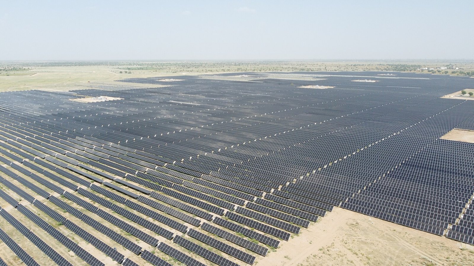 Solar
Solar site survey: topography, pile or table setting-out, fences and internal roads.
View service
-
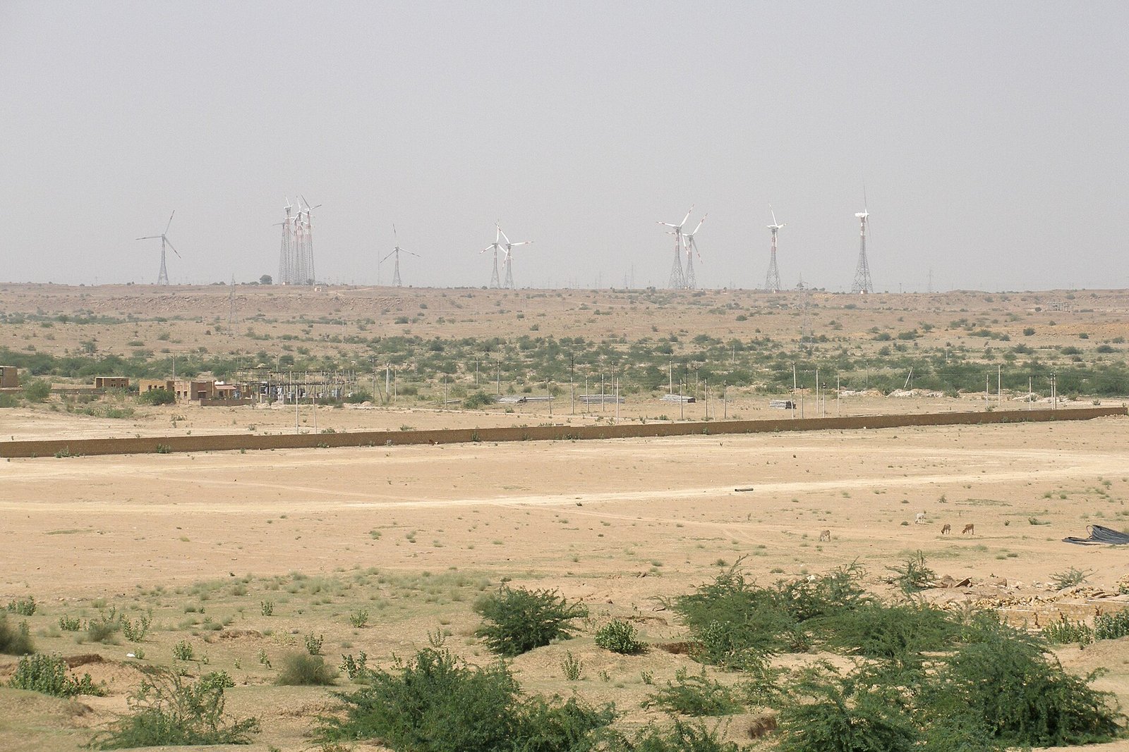 Wind
Wind site and corridor survey, including related transmission where instructed.
View service
-
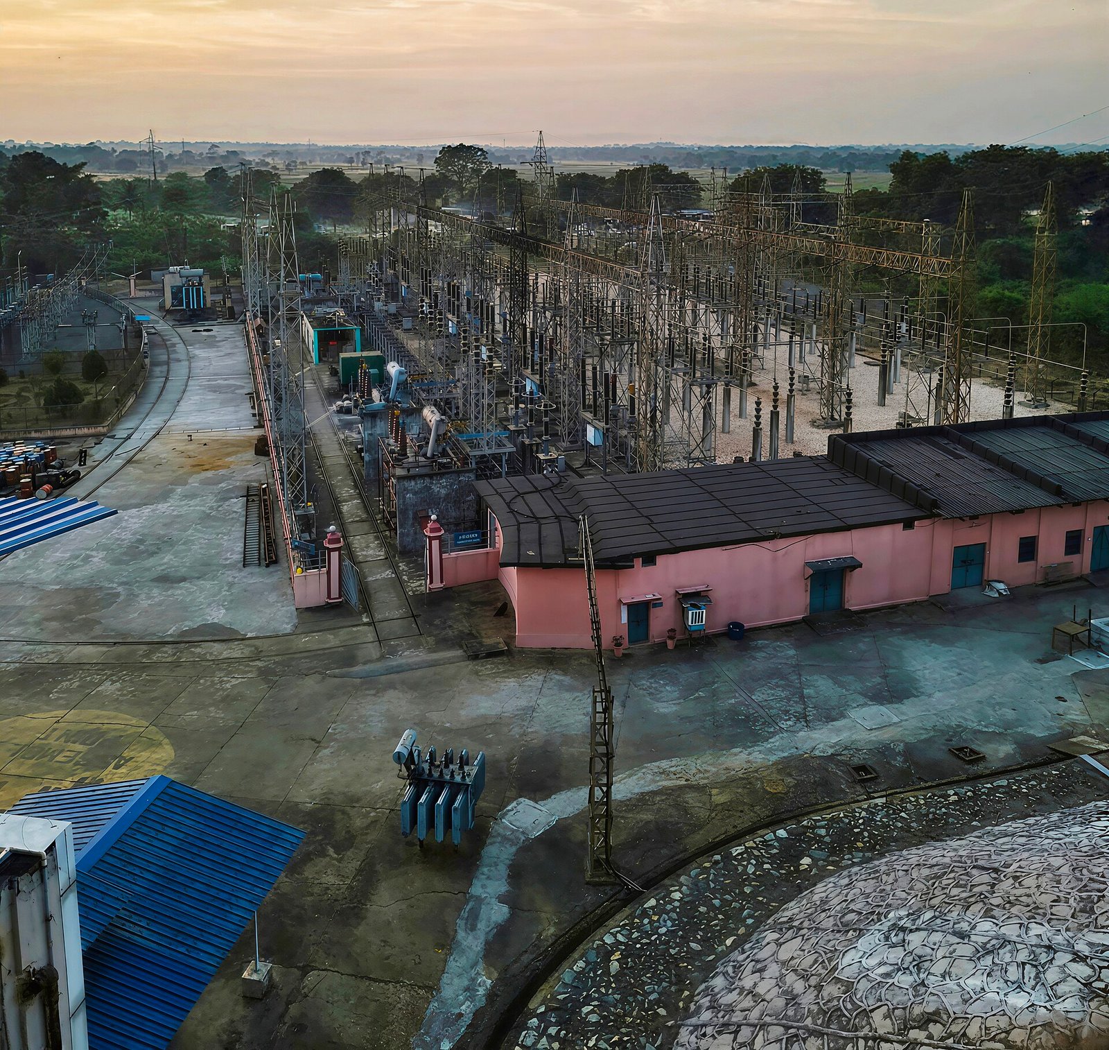 Switchyard & Substation
Switchyard and substation layout, levels and equipment setting-out.
View service
-
Industrial
Industrial plant survey: buildings, roads, yards and installation control.
View service
-
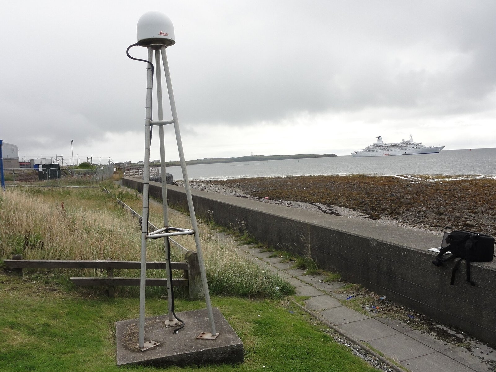 Machine Alignment
Machine and production-line alignment using survey control on the shop floor.
View service
How we work
Three steps from ground to drawing
-
Control
Primary control is established for the site or corridor — GNSS or total station traverse — and tied to the coordinate system the project requires.
-
Detail survey
Features, levels and alignments are captured against that control using the instrument suited to the ground and the programme.
-
Drawings & reports
Observations are reduced and issued as drawings, coordinate lists and reports that construction and land teams can work from directly.
Why choose us
What the office commits to
- One Ahmedabad office that takes the brief and stays the point of contact through the assignment.
- Field instruments matched to the work: total station, DGPS/RTK and GNSS.
- Deliverables issued as drawings, coordinates and reports — not raw files without context.
- Survey experience across solar, wind, railway, road, civil, industrial and demarcation assignments.
- Coverage across India, planned and coordinated from the Narol, Ahmedabad office.
- Control and checks recorded so the next team can verify what was measured.
- Direct coordination with construction and land teams on site.
Selected work
Featured assignments
Case studies from the firm’s project list. Names and place-spellings follow that list and should be matched to official project records.
-
Azure Power Pvt. Ltd.
Bikaner, Rajasthan
Read case study
-
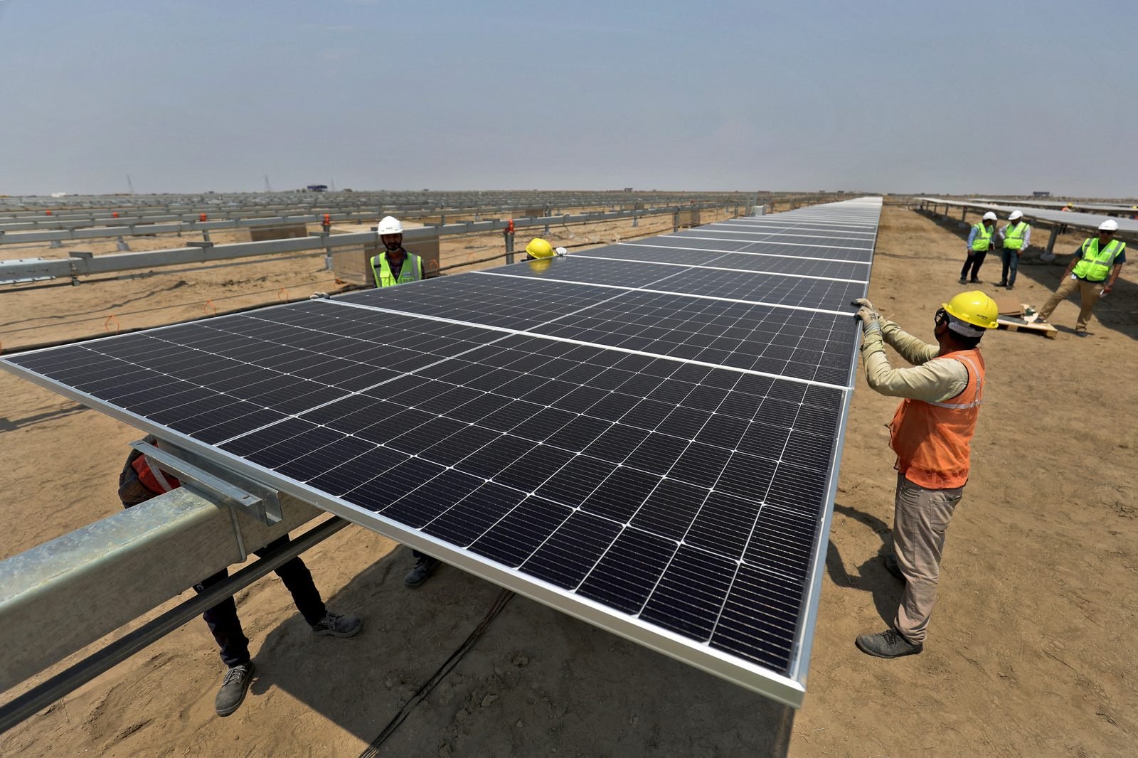 Shiv Construction / Adani Solar
Komudi, Tamil Nadu
Read case study
-
 SPRNG Energy
Deesa, Gujarat
Read case study
-
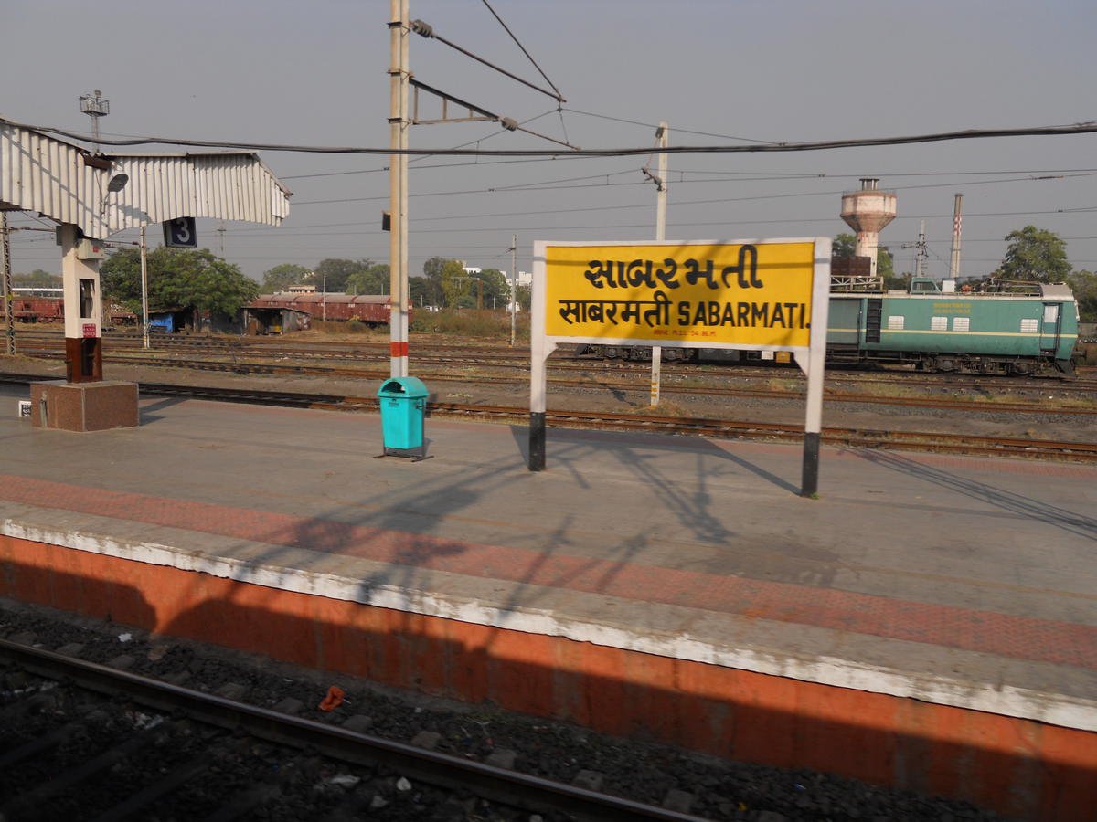 Indian Railway / HYT Engineering
Gujarat
Read case study
-
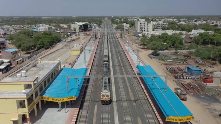 G-RIDE
Becharaji, Gujarat
Read case study
-
 ArcelorMittal
Kurnool, Andhra Pradesh
Read case study
From the founder
A project holds together when the first measurement is right. Our work is to put that measurement on the ground, record it, and hand over data the next team can build from. Ashish S. Mishra Director & Owner · Anshuman Mishra, Director / Technical Operations
Client record
What clients record
Remarks are attributed to the company name only.
-
Survey drawings and coordinates were issued in a form the construction team could use. Coordination on site was direct.
-
Topographical and setting-out support for the Deesa solar works. Field data followed the project programme.
-
Alignment and level control for the Becharaji railway bridge works. Control points and checks were documented for the client team.
-
Survey and layout support for the Bikaner solar site. Coordinates, levels and drawings were issued for construction use.
-
Field survey for the Komudi solar works with Shiv Construction. Setting-out and as-built records were maintained through the survey programme.
-
Drafting, survey and demarcation for the Sabarmati service shed. The site team received usable drawings and field marks.
Careers
Build your surveying career with us
Open roles for surveyors, GIS/CAD, supervisors and coordinators.
Discuss a survey programme
Send the site, the coordinate system and the drawings you need. The Ahmedabad office will respond with a written approach.
- OfficeC-301, Shanti Shukra Residency, Nr Old Court, Narol, Ahmedabad, Gujarat 382405
- Ashish S. Mishra9429900872
- Anshuman Mishra9898580872
- Emailshivshakti.engsur@gmail.com
- Emailinfo@shivshaktisurvey.com